Govt Launches Heli-Borne Survey Technology For Groundwater Mapping In Arid Regions
Writer: Shweta Routh
Shweta Routh 2nd year student of School of Mass Communication, KIIT University. Versed with 3 languages, secured 1st position in all over district, Hindustan Commerce Olympiad and also won the title of student of the year during her school time. She loves to make new friends and explore new things and is a strong believer of Karma.
Rajasthan, 8 Oct 2021 5:34 AM GMT
Editor : Palak Agrawal |
Palak a journalism graduate believes in simplifying the complicated and writing about the extraordinary lives of ordinary people. She calls herself a " hodophile" or in layman words- a person who loves to travel.
Creatives : Palak Agrawal
Palak a journalism graduate believes in simplifying the complicated and writing about the extraordinary lives of ordinary people. She calls herself a " hodophile" or in layman words- a person who loves to travel.
Heli-borne geophysical mapping will provide high-resolution 3D images of the subsurface up to 500 metres below ground level and map potential groundwater sources.
To solve the acute water crisis and help in efficient groundwater management, state-of-the-art heli-borne survey technology was launched on Tuesday, October 5. Jitendra Singh, Union Minister of State for Water Resources, launched the initiative in Rajasthan's Jodhpur.
As per an official release, the technology has been developed by the Centre for Scientific and Industrial Research (CSIR) and the National Geophysical Research Institute (NGRI) Hyderabad.
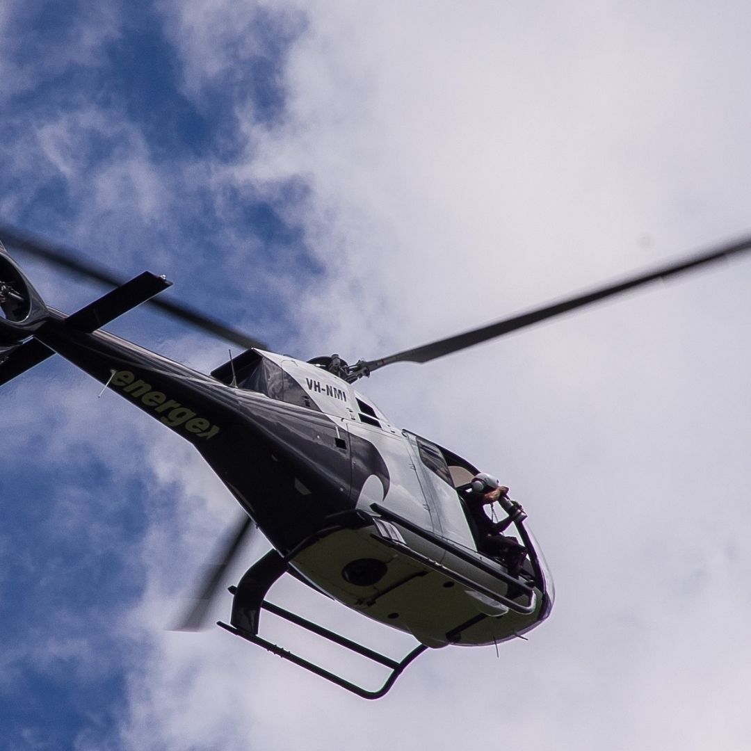
Several ministers attended the flagging-off ceremony. a helicopter. Gajendra Singh Shekhawat, Union Jal Shakti Minister, recently approved the survey to create a high-resolution aquifer map to increase groundwater resources in arid areas of northwestern Rajasthan, Gujarat, Haryana, and Punjab.
The survey results from a collaboration between the Central Groundwater Board, the Jal Shakti Ministry, and the National Geophysical Research Institute in Hyderabad.
Heli-borne geophysical mapping will provide high-resolution 3D images of the subsurface up to 500 metres below ground level and map potential groundwater sources.
The CSIR's water technologies, which range from source identification to water purification, will assist millions of people across the country and will help in achieving PM Modi's "Har Ghar Nal Se Jal" and "doubling farmers' income" objectives, said Jitendra Singh.
Project Will Be Implemented In Two Phases
He said that the CSIR's technological expertise would be valuable to the Jal Shakti ministry's activities. The partnership might assist the country in handling significant water concerns.
As part of the National Aquifer Mapping Project, this massive project worth ₹150 crores will be implemented in two phases, in which the first phase covers 1 lakh square kilometres.
This includes 65,000 square kilometres spread across eight districts in Rajasthan, 32,000 square kilometres spread across five districts in Gujarat, and 2,500 square kilometres spread across two districts in Haryana.
"This project is projected to raise CSIR's profile in the implementation of the Government of India's most ambitious undertaking, the Jal Jeevan Mission," the Ministry of Science & Technology said in a statement.
He noted that the new methodology would aid in water conservation and identify new locations for groundwater recharge, all at a lower cost than existing methods such as digging tube wells utilising geophysics and remote sensing techniques.
Also Read: 'Historic Day': WHO Recommends Use Of World's First Malaria Vaccine
 All section


